View All+5 photos
Shimla District, Himachal Pradesh
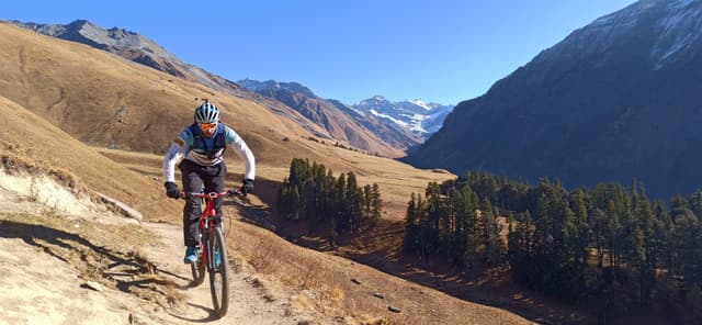
One of the most beautiful meadow trails I've ever ridden in the Himalayas — and the first-ever MTB summit to the sacred Chandernahan Lake.
One of my most memorable adventures. I've never seen a trek more beautiful than this in the Himalayas — you move along the treeline and slowly climb towards the lakes, through some of the most untouched country in Himachal.
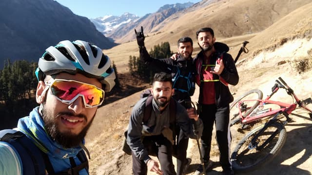
We started from Janglik at 7 AM on a chilly late-autumn morning — four of us: two trail runners, a footballer, and me on the bike. We pushed hard for the first two hours to reach the meadows early, navigating off screenshots of Google Earth since it was our first time. My rule for these remote pushes: turn back by 2 PM, no matter what.
The trickiest point is Litham. We took the wrong side of the valley there and lost about an hour before realising the lakes lay the other way. Back at Litham, one of the group wanted to head home — but after carrying my bike for five hours, I wasn't turning around. One last 30-minute push and we reached Chandernahan Lake.
That final stretch from Litham to the lake was the hardest — the altitude hit, we were tired and low. But the lake was worth every bit. It was frozen, and I couldn't stop myself from riding across it. I tested the ice first (about two inches thick) before committing. An hour after leaving, one of us realised he'd left his phone back at the lake — two of us went all the way back and, luckily, found it lying on the trail. Then we raced back to Janglik to beat nightfall.
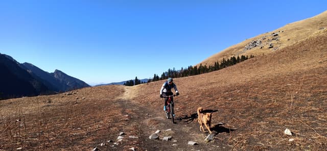
A local dog joined us for the whole route — ate our potatoes, eggs and bread, drank whenever we drank. He felt like part of the team. It was one of the gnarliest efforts I'd done till then. Full story's in the video below.
Tap a dot to preview a photo from that point on the route, then tap the photo to enlarge.
A GPX is a lifesaver. After Janglik there's no civilisation, and the trail near Litham is confusing — we lost an hour there.
Be fully self-sufficient. In autumn the route is empty. Carry everything; don't expect any help along the way.
Turn back by 2 PM. My rule for these remote pushes — don't get caught out after dark.
Best in October. Autumn is clearest; summer weather up here has become unpredictable.
Reach Shimla, then Rohru (easy by bus or your own car). From Rohru it's about a 2-hour drive to Janglik — the Tangnoo–Janglik stretch is rough, so bring a 4x4, take a taxi, or park at Tangnoo and hike/hitch the last bit. Stay overnight at Janglik (plenty of homestays), but arrive early — things shut down early in remote villages.
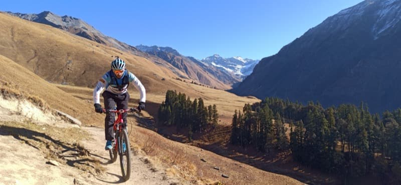
Chandernahan Lake - First MTB Summit
Share your dates and fitness level - I'll help you plan the perfect adventure.
Let's Plan Together